
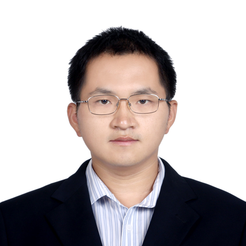
WANG Lei Professor
International Research Center of Big Data for Sustainable Development Goals/
Aerospace Information Research Institute, Chinese Academy of Sciences
Email: wanglei@radi.ac.cn
Research Areas
Land Use and Land Cover
Forest Disturbance Mapping and Analysis
Disaster Monitoring and Management
Education
Sep. 2004- Jun. 2009; PhD; Cartography and Geographic Information System; Institute of Remote Sensing Applications, Chinese Academy of Sciences
Sep. 2000- Jun. 2004; Bachelor; Electronic Engineering; Beijing Normal University
Experience
Sep. 2021- Now; Associate Professor, Professor; International Research Center of Big Data for Sustainable Development Goals
Mar. 2020 - Now; Associate Professor, Professor; Aerospace Information Research Institute, Chinese Academy of Sciences
May 2013 - May 2018; Research Associate; Geographical Sciences; University of Maryland, College Park
Oct. 2010 - Mar. 2013; Postdoctoral; Center for Earth System Science, Tsinghua University
Jul. 2009 - Feb. 2020; Assistant Professor, Associate Professor; Institute of Remote Sensing and Digital Earth, Chinese Academy of Sciences
Publications
1. Chen F, Wang L#, Wang Y*, Zhang H, Wang N, Ma P, Yu B*, 2024. Retrieval of dominant methane (CH4) emission sources, the first high resolution (1–2m) dataset of storage tanks of China in 2000–2021. Earth System Science Data, 16, 3369–3382.
2. Wang N, Chen F, Yu B, Zhang H, Zhao H, Wang L*, 2024. Delineation of Intermittent Rivers and Ephemeral Streams Using a Hybrid Method. Remote Sensing, 16, 2489
3. Wang L, Ye C, Chen F*, Wang N, Yu B*, 2024. SOENet: a multi-resolution network for sheep extraction from high-resolution remote sensing images. International Journal of Digital Earth, 17(1): 2368707.
4. Chen F, Wang L#, Wang N*, Guo H, Chen C, Ye C, Dong Y, Liu T, Yu B*, 2024. Evaluation of road network power conservation based on SDGSAT-1 glimmer imagery. Remote Sensing of Environment, 311, 114273.
5. Wang L, Chen C, Chen F*, Wang N, Li C, Zhang H, Wang Y, Yu B*, 2024. UGTransformer: A Sheep Extraction Model from Remote Sensing Images for Animal Husbandry Management. IEEE Transactions on Geoscience and Remote Sensing, 62, 5402614
6. Wang L, Ye C, Chen F*, Wang N, Li C, Zhang H, Wang Y, Yu B*, 2024. CG-CFPANet: a multi-task network for built-up area extraction from SDGSAT-1 and Sentinel-2 remote sensing images. International Journal of Digital Earth, 17(1), 2310092
7. Xiong Y, Zhang Z, Fu M, Wang L, Li S, Wei C, Wang L*, 2023. Analysis of Vegetation Cover Change in the Geomorphic Zoning of the Han River Basin Based on Sustainable Development. Remote Sensing, 15 (20): 4916
8. Zhang H, Chen F, Wang L, Wang N, Yu B, 2023. Reservoir inventory for China in 2016 and 2021. Scientific Data, 10: 609
9. Li C, Chen F*, Wang N, Yu B, Wang L*, 2023. SDGSAT-1 nighttime light data improve village-scale built-up delineation. Remote Sensing of Environment, 297: 113764
10. Yu B, Chen F*, Ye C, Li Z, Dong Y, Wang N, Wang L*, 2023. Temporal expansion of the nighttime light images of SDGSAT-1 satellite in illuminating ground object extraction by joint observation of NPP-VIIRS and sentinel-2A images. Remote Sensing of Environment, 295: 113691
11. Li H, Song XP*, Hansen MC, Becker-Reshef I, Adusei B, Pickering J, Wang L, Wang L, Lin ZY, Zalles V, Potapov P, Stehman SV, Justice C, 2023. Development of a 10-m resolution maize and soybean map over China: Matching satellite-based crop classification with sample-based area estimation. Remote Sensing of Environment, 294: 113623
12. Yu B, Chen F*, Wang N, Wang L, Guo H, 2023. Assessing changes in nighttime lighting in the aftermath of the Turkey-Syria earthquake using SDGSAT-1 satellite data. The Innovation, 4(3): 100419
13. Li C, Wang M*, Chen F, Coulthard T J, Wang L*, 2023. Integrating the SLIDE model within CAESAR-Lisflood: Modeling the ‘rainfall-landslide-flash flood’ disaster chain mechanism under landscape evolution in a mountainous area. Catena, 227: 107124
14. Yu B, Wang N, Xu C, Chen F, Wang L*, 2022. A Network for Landslide Detection Using Large-Area Remote Sensing Images with Multiple Spatial Resolutions. Remote Sensing, 14(22): 5759.
15. Wang L, Yu B, Chen F, Li C, Li B, Wang N, 2022. A Cluster-Based Partition Method of Remote Sensing Data for Efficient Distributed Image Processing. Remote Sensing, 14(19): 4964.
16. Wang L, Yu B, Chen F, Wang N, Li C*, 2022. An Analysis of Eco–Environmental Changes in Rural Areas in China Based on Sustainability Indicators between 2000 and 2015. Land, 11(8): 1321.
17. Yu B, Yang AQ, Chen F, Wang N, Wang L*, 2022. SNNFD, spiking neural segmentation network in frequency domain using high spatial resolution images for building extraction. International Journal of Applied Earth Observation and Geoinformation, 11: 102930.
18. Yu B, Xu C, Chen F, Wang N, Wang L*, 2022. HADeenNet: A hierarchical-attention multi-scale deconvolution network for landslide detection. International Journal of Applied Earth Observation and Geoinformation, 11: 102853
19. Xiong Y, Li H, Fu M, Ma X, Wang L*, 2022. Evaluation of Ecosystem Service Change Patterns in a Mining-Based City: A Case Study of Wu’an City. Land, 11(6): 895
20. Wang N, Chen F, Yu B, and Wang L*, 2022. A Strategy of Parallel SLIC Superpixels for Handling Large-Scale Images over Apache Spark. Remote Sensing, 14, 1568
21. Chen F, Haritashya UK, Prakash M, Wang L*, 2021. Editorial: Big Earth Data for Disaster Risk Reduction. Frontiers in Earth Science, 9: 727547
22. Shirazi Z, Wang L*, Bondur VG, 2021. Modeling conditions appropriate for wildfire in South East China- A Machine Learning Approach. Frontiers in Earth Science, 9: 622307
23. Huang N, Wang L*, Song XP, Black TA, Jassal RS, Myneni RB, Wu CY, Wang L, Song WJ, Ji DB, Yu SS, Niu Z 2020. Spatial and temporal variations in global soil respiration and their relationships with climate and land cover. Science Advances, 6(41): eabb8508
24. Hansen MC*, Wang L, Song XP, Tyukavina A, Turubanova S, Potapov PV, Stehman SV, 2020. The Fate of Tropical Forest Fragments. Science Advances, 6(11): eaax8574
25. Sun ZC*, Xu R, Du WJ, Wang L, Lu DS, 2019. High-Resolution Urban Land Mapping in China from Sentinel 1A/2 Imagery Based on Google Earth Engine. Remote Sensing, 11(7): 752
26. Ying Q*, Hansen MC, Potapov PV, Tyukavina A, Wang L, Stehman SV, Moore R, Hancher M, 2017. Global bare ground gain from 2000 to 2012 using Landsat imagery. Remote Sensing of Environment, 194: 161-176
27. Li C, Wang J, Wang L, Hu LY, Gong P*, 2014. Comparison of Classification Algorithms and Training Sample Sizes in Urban Land Classification with Landsat Thematic Mapper Imagery. Remote Sensing, 6(2): 964-983
28. Wang L, Li CC, Ying Q, Cheng X, Wang XY, Li XY, Hu LY, Liang L, Yu L, Huang HB, Gong P*, 2012. China’s urban expansion from 1990 to 2010 determined with satellite remote sensing. Chinese Bulletin of Sciences, 57 (22): 2802-2812
29. Gong P, Liang S, Carlton EJ, Jiang QW, WU JY, Wang L, Remais JV*, 2012. Urbanisation and health in China. Lancet, 379: 843-852
30. Wang L, Gong P*, Ying Q, Yang ZZ, Cheng X, Ran Q, 2010. Settlement extraction in the North China Plain using Landsat and Beijing-1 multispectral data with an improved watershed segmentation algorithm. International Journal of Remote Sensing, 31(6), 1411-1426